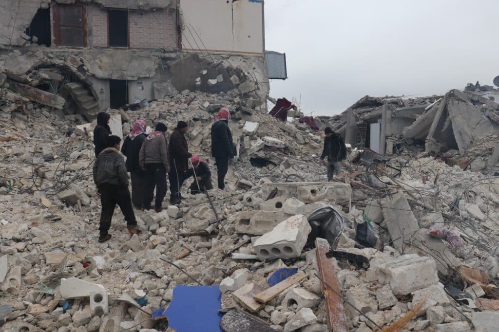
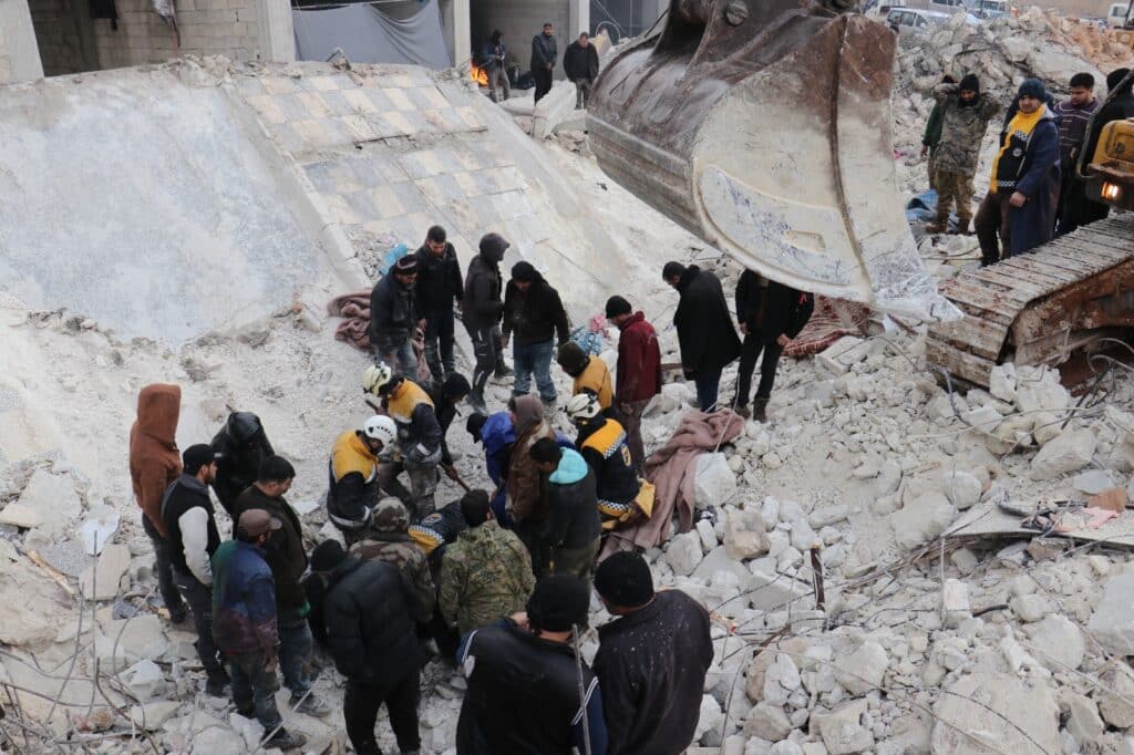
Technology plays a tremendous role in effective earthquake recovery and responding to its consequences.
To this end, this article elaborates on the most important technologies used by emergency responders in order to efficiently plan their response and what tools people can use to stay safe.
Early warning systems
Early warning systems are essential for risk management and disaster preparedness.
They help save lives and reduce the potential effect of the disasters such as earthquakes.
Particularly, to be effective, early warning systems need to:
- Rely on the direct participation of at-risk communities.
- Facilitate public education and increase awareness of risks.
- Distribute warnings and informative messages.
- Maintain a constant state of preparedness.

Emergency communications
Emergency and crisis communications are crucial to staying safe and connected. Communication tools include:
Social media: This includes a Facebook safety check which allows users who are located within a certain natural disaster’s location to log in and tell their family members and friends that they are safe.
Also, google crisis response provides tools, interactive platforms, and information for both emergency professionals and those in need of help.
Mobile applications: Some examples of mobile applications that help you stay safe during disasters include: Life360 and the FEMA app.
Cell phones: During a natural disaster, mobile networks become overloaded with users.
Thus, using text messaging and e-mails as communication methods during a crisis is inevitable.
Mapping and analysis
Scientists and experts can map earthquakes using a triangulation technique to identify the earthquake’s location.
This method is called triangulation because it has mainly 3 sides, and it takes 3 seismographs to pinpoint the earthquake location.
Seismographs are instruments used to record the motion of the ground during an earthquake.
There are mainly 3 types to analyze the responses of any structure subjected to seismic ground waves. These include:
- Static analysis.
- Response spectra analysis.
- Time history analysis.
Remote sensing
Remote sensing is the process by which scientists determine and monitor the physical properties of a specific location.
In addition, remote sensing facilitates measuring the remitted radiation of an area at a specific distance, typically from satellite or aircraft.
This technique uses a special camera to collect remote images that help experts identify any problems with the earth.
Data management
Researchers and seismologists use seismometers to study the earth’s surface’s motions to identify potential earthquakes.
Seismometers are instruments that record the seismic waves of the earth’s surface.

Structural analysis to assess the structural integrity of buildings
Structural analysis that engineers employ in order to assess the integrity of the buildings and their safety during earthquakes by several techniques, as follows:
- Carrying out the necessary inspections to identify the possible damage.
- Ensuring that the infrastructure of the building was laid out according to appropriate designs, standards, and procedures.
- Checking whether the structure of the building is appropriate to the environment it was built for.
- Suggest design modifications per their observations and recommendations if the need arises to address any issues.
- Assist our efforts at Bonyan Organization to victims of the recent earthquakes.
Millions of Syrians were affected due to the earthquakes that occurred in Turkey and Syria.
Bonyan helps bring back hope for a better future for those who lost their loved ones, homes, and belongings. Your donations will make a difference!
Resource
- Role of Technology in Disaster Management.
- The Science of Earthquakes.
- Seismic Analysis.
- Early Warning Systems.
FAQs
What is the role of information technology in disaster prevention?
Information technology such as Geo-location and scanning technologies help governments predict the area of impact to help prevent the disaster or mitigate its effects.
What are the technologies used in disaster management?
Technologies used in disaster management include:
Remote sensing.
Geographical Information System.
Global Positioning System (GPS).
Satellite navigation system.
Satellite communication.
What is the role of technology in earthquake recovery?
The technology provides information about the location of the epicenter.
This kind of information helps emergency responders plan their response and helps people stay safe.
How can technology reduce the impact of earthquakes?
Technology can reduce the impact of earthquakes by helping people locate their distance, inform others about their exact location, and ensure that their families and friends are safe.
What is the role of technology in disaster recovery?
The role of technology in disaster recovery is to help governments and civic organizations track the exact location of disaster to minimize human loss.
What technology is used in disaster response?
One of the technologies used in disaster response includes Geographic Information Systems (GIS).
How is technology used to reduce the impact of natural disasters?
Technology could be used to reduce the impact of natural disasters by helping to locate survivors and transmitting information to emergency teams.
Content
- Early warning systems
- Emergency communications
- Mapping and analysis
- Remote sensing
- Data management
- Structural analysis to assess the structural integrity of buildings
- Resource
-
FAQs
- What is the role of information technology in disaster prevention?
- What are the technologies used in disaster management?
- What is the role of technology in earthquake recovery?
- How can technology reduce the impact of earthquakes?
- What is the role of technology in disaster recovery?
- What technology is used in disaster response?
- How is technology used to reduce the impact of natural disasters?


